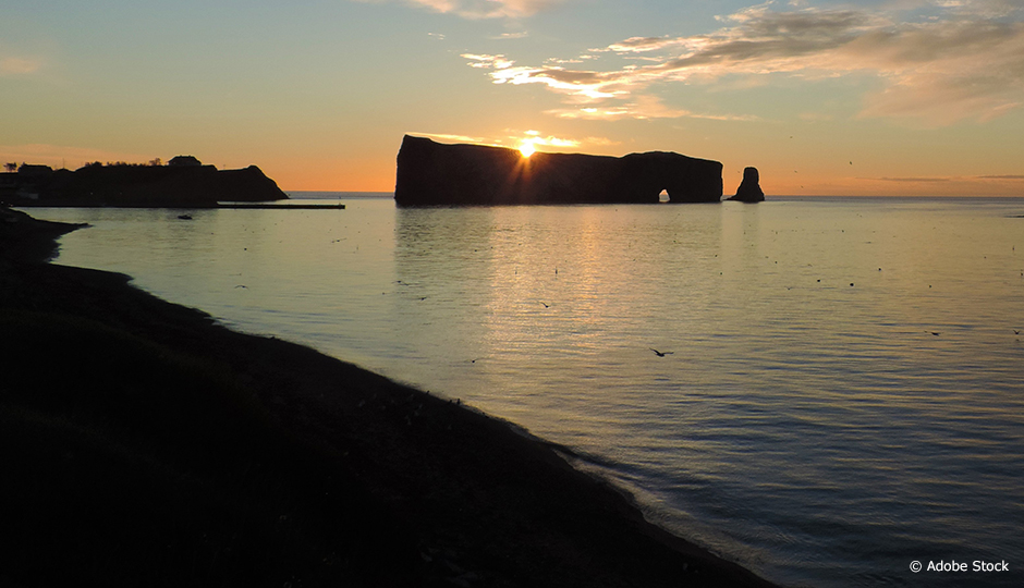
Percé Rock, the Gaspé coast, the Route du Fleuve and downtown Baie-Saint-Paul have become trademarks for the Gaspé and Charlevoix regions. These landscapes attract crowds of tourists from around the world and generate significant economic benefits. A number of Québec regions rely in this way on the beauty of their scenery for their socioeconomic development. However, landscapes are synonymous with strict standards to be met, especially when it come to forest management planning. Nancy Gélinas, a professor and researcher in the Department of Wood and Forest Sciences at Université Laval, would like to change this perception and turn landscapes into resources to be optimized, in the same way as forests.
“How much would you be willing to pay to protect this field, this stretch of farmland, that village…?”
Nancy Gélinas and her team of geographers, ecologists and economists turned to the populations of Charlevoix and Gaspésie to determine the relative importance of landscapes. These two regions were chosen because of their advanced reflections on the subject. The researchers questioned people about their perception of landscapes in order to obtain a series of indicators of importance, such as colour contrasts and diversity of use. The most popular attributes, both positive and negative—dam, electric wires—were incorporated into a forest management map in order to highlight the views that should be showcased… or hidden.
Nancy Gélinas and her colleagues are now attempting to attach a “price tag” to them. To do this, they conducted an online survey of 998 Québécois, who were asked the following question: “How much would you be willing to pay to protect this field, this stretch of farmland, that village…?” The different values will be represented on a map in order to help administrators to manage forestry resources without devaluing the landscape. This tool will be adaptable to different regions of Québec with the help of a non-technical guide describing each stage of the project.


